

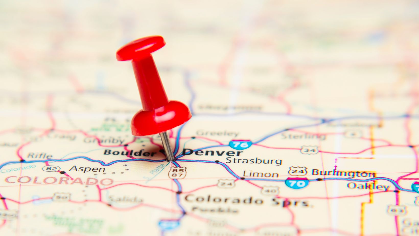
Maps are essential to our daily lives, guiding everything from navigation systems to urban planning and logistics. When we need to go to a different city, find a restaurant, or are on holiday and want to go to the nearest beach, we first do open mapping applications.
But how exactly are maps created? The process involves collecting, analyzing, and visualizing various data points, with geospatial data as the foundation. Without geospatial data, modern mapping would not be possible, but not only mapping. When talking about maps, we all think of Google Maps, allowing us to find our points of interest, but many other industries and services we use daily rely on it. We receive parcels within 1 business day, thanks to mapping data; we can use Uber or other taxi applications thanks to geospatial data; we see new buildings in our town, thanks to urban planning using mapping data, and these are only 3 simple examples.
The Foundation Of Mapping: Geospatial Data
At the heart of every map lies geospatial data (https://www.infobelpro.com/geospatial-data) — information tied to specific locations on Earth. This data includes coordinates, elevation levels, land features, infrastructure, and even human activity patterns. Without geospatial data, there would be no precise way to structure or interpret the world in a visual format.
Geospatial data is gathered from multiple sources, including satellites, drones, GPS systems, and ground surveys. Companies and governments use sophisticated technologies to process this data, ensuring accuracy and real-time updates. For instance, Google Maps and other mapping platforms rely on vast datasets from satellite imagery, street-level photography, and user-generated location data to keep maps relevant and precise.
Steps in Creating a Map
1. Data Collection
The first step in map creation is gathering raw data, such as geospatial data. Geospatial datasets often include:
- Satellite Imagery: High-resolution images from satellites provide large-scale geographic details.
- Aerial Photography: Drones and aircraft capture detailed terrain and infrastructure images.
- GPS and Ground Surveys: On-the-ground measurements validate and refine map accuracy.
- Crowdsourced Data: User contributions, such as business locations and road changes, keep maps up to date.
2. Data Processing and Integration
Once the data is collected, it must be cleaned, processed, and integrated. Geographic Information Systems (GIS) play a crucial role here, allowing analysts to overlay different data layers, such as terrain, roads, buildings, and natural features. AI and machine learning help automate data validation, detect errors, and fill gaps in missing geographic information.
3. Map Design and Visualization
After processing, cartographers and digital engineers focus on visualizing the data. They choose color schemes, icons, and layers representing the information best. There are also many tools available on the internet where users can – when having the data – generate maps for free, like Mapbox.
Examples:
- Topographic maps highlight elevation and terrain.
- Road maps emphasize transportation networks.
- Heat maps illustrate population density or traffic patterns.
4. Continuous Updates and Maintenance
Maps are never static. Real-time updates ensure their accuracy, whether it’s adding new roads, updating business listings, or reflecting landscape changes.

Advanced mapping platforms like Google Maps use AI-powered data processing, satellite updates, and human verification to keep maps current.
Why Geospatial Data Matters in Mapping
Geospatial data is what enables maps to exist in the first place. It provides the precise locations, shapes, and relationships between different features on the Earth’s surface. Without it:
- Navigation systems would lack real-world accuracy.
- City planners wouldn’t have insight into infrastructure development.
- Businesses couldn’t analyze customer locations for better services.
- Emergency responders wouldn’t have access to real-time maps during crises.
As geospatial data continues to evolve with AI, IoT, and big data technologies, the accuracy and functionality of maps will only improve. The future of mapping depends on more advanced geospatial analytics, offering richer insights and real-time adaptation for an ever-changing world.
Conclusion
Maps are more than just visual representations of places; they consist of geospatial data layers that help us navigate, analyze, and understand our world. From raw satellite images to interactive navigation apps, this geospatial data is the foundation of mapping. As technology advances, the power of geospatial intelligence will transform how maps are created, updated, and utilized in the future.